Justice by Postcode: How Britain's Court Closure Programme Created a Geographic Access Crisis
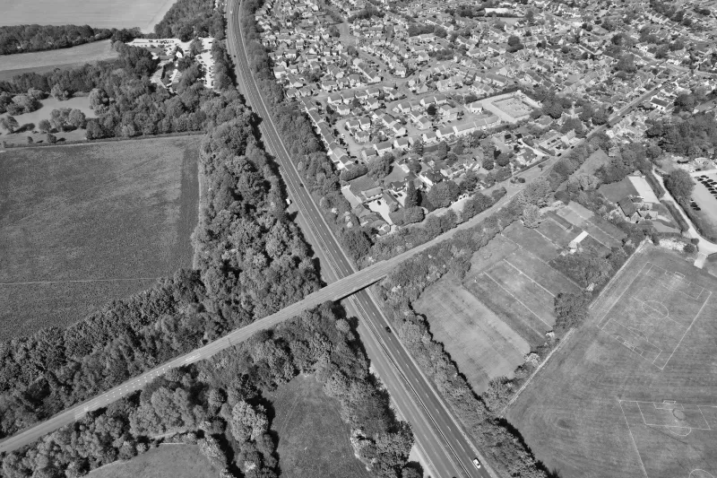
Since 2010, more than half of England and Wales's magistrates' courts have closed, concentrating legal infrastructure in urban centres while leaving rural and deprived communities with journeys that can span hours by public transport. The geographic distribution of courts, tribunals, and legal aid providers now functions as an invisible barrier, one that punishes citizens not for their conduct but for their coordinates. CodexGeo examines how location intelligence could form the foundation of a l